Synthetic aperture radar imagery using SOCET GXP®

Visualitza/Obre
Estadístiques de LA Referencia / Recolecta
Inclou dades d'ús des de 2022
Cita com:
hdl:2117/369913
Tipus de documentText en actes de congrés
Data publicació2022
EditorUniversitat Politècnica de Catalunya. Remote Sensing, Antennas, Microwaves and Superconductivity Group (CommSensLab)
Condicions d'accésAccés obert
Llevat que s'hi indiqui el contrari, els
continguts d'aquesta obra estan subjectes a la llicència de Creative Commons
:
Reconeixement-NoComercial-SenseObraDerivada 4.0 Internacional
Abstract
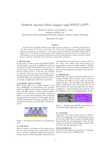
Synthetic Aperture Radar (SAR) provides high resolution images for a multitude of applications.
The main purpose of this work is to provide the reader to get accustomed to application oriented
SAR data processing and visualization. This goal is achieved using BAE SYSTEMS SOCET GXP®
software tool. The obtained results present a solid approach by using the tool for the exploitation of
SAR images as a source for geospatial information and data regarding water resource detection, terrain
feature extraction, vegetation health assessment among other applications.
CitacióDuarte, A.M.; Topa, A.L. Synthetic aperture radar imagery using SOCET GXP®. A: EIEC 2022. "XIV Iberian Meeting on Computational Electromagnetics". Universitat Politècnica de Catalunya. Remote Sensing, Antennas, Microwaves and Superconductivity Group (CommSensLab), 2022,
| Fitxers | Descripció | Mida | Format | Visualitza |
|---|---|---|---|---|
| EIEC_2022_28_Synthetic Aperture Radar Imagery.pdf | 2,032Mb | Visualitza/Obre |


