Exploració per tema "ionosphere"
Ara es mostren els items 1-8 de 8
-
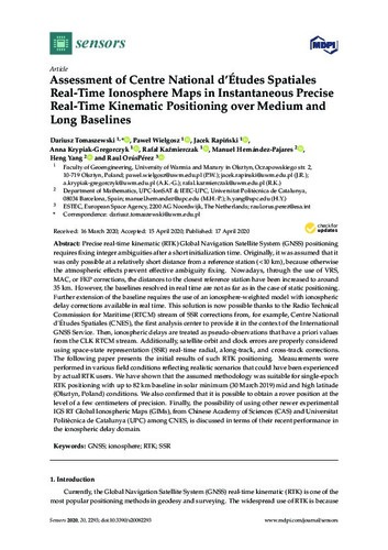
Assessment of centre national d'Études spatiales real-time ionosphere maps in instantaneous precise real-time kinematic positioning over medium and long baselines

(Multidisciplinary Digital Publishing Institute (MDPI), 2020-04-17)
(Multidisciplinary Digital Publishing Institute (MDPI), 2020-04-17)
Article
Accés obertPrecise real-time kinematic (RTK) Global Navigation Satellite System (GNSS) positioning requires fixing integer ambiguities after a short initialization time. Originally, it was assumed that it was only possible at a ... -
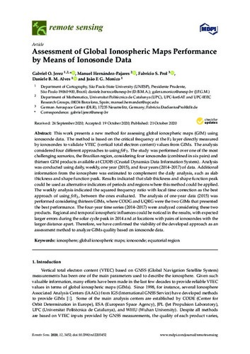
Assessment of global ionospheric maps performance by means of ionosonde data

(Multidisciplinary Digital Publishing Institute (MDPI), 2020-10-21)
(Multidisciplinary Digital Publishing Institute (MDPI), 2020-10-21)
Article
Accés obertThis work presents a new method for assessing global ionospheric maps (GIM) using ionosonde data. The method is based on the critical frequency at the F2 layer directly measured by ionosondes to validate VTEC (vertical ... -
Atmospheric Tomography Using Satellite Radio Signals

(Universitat Politècnica de Catalunya, 2000-02-04)
(Universitat Politècnica de Catalunya, 2000-02-04)
Tesi
Accés obertLos sistemas de posicionamiento global GNSS (GPS y GLONASS) se han convertido en una herramienta básica para obtener medidas geodésicas de la Tierra y en una fuente de datos para el estudio atmosférico. Proporcionan cobertura ... -
Direct determination of electron density profiles from GNSS occulttion data

(2008-08-07)
(2008-08-07)
Comunicació de congrés
Accés obert -
Implementation of GNSS ionospheric models in gLAB

(Universitat Politècnica de Catalunya, 2014-12)
(Universitat Politècnica de Catalunya, 2014-12)
Projecte/Treball Final de Carrera
Accés obert[ANGLÈS] gLAB is an open source tool developed in gAGE group under the terms of an ESA contract. It currently processes full GPS data, being capable of doing precise point positioning. With the appearance of new satellite ... -
Ionospheric effects in GNSS-reflectometry from pace

(2016-12-01)
(2016-12-01)
Article
Accés obertGlobal navigation satellite systems-reflectometry (GNSS-R) is an emerging technique that uses navigation opportunistic signals as a multistatic radar. Most GNSS systems operate at L-band, which is affected by the ionosphere. ... -
Mejora de la transformada inversa de Abel: aplicación ocultaciones ionosféricas de COSMIC/FORMOSAT-3

(2008-09-24)
(2008-09-24)
Comunicació de congrés
Accés obert -
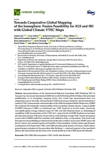
Towards cooperative global mapping of the ionosphere: fusion feasibility for igs and iri with global climate vtec maps

(Multidisciplinary Digital Publishing Institute (MDPI), 2020-11-01)
(Multidisciplinary Digital Publishing Institute (MDPI), 2020-11-01)
Article
Accés obertRecommendations of the International Reference Ionosphere (IRI) Workshop 2017 in Taoyuan City, Taiwan and International GNSS Service (IGS) Workshop 2018 in Wuhan, China included establishment of an ionosphere mapping service ...


